BFI MARITIME DIRECTORY
.png)
%20(1).png)
SEARCH
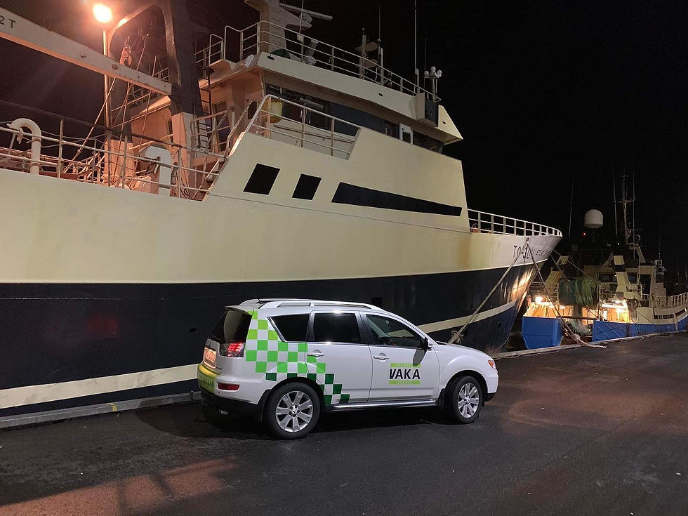
VAKA – Security & Guard Services

Website: VAKA
Phone: (+298) 28 83 29
Email: vaka@vaka.fo
Social media links:
FACTS
Base: Faroe Islands
CEO: Signar Strøm
Core services: Security guard & patrol services
Maritime focus: Port, harbour & coastal security
Service area: Nationwide – Faroe Islands
Key strengths: Local presence, reliability, rapid response
Professional Security Services in the Faroe Islands
VAKA is a Faroese security company providing professional guard and safety services to both public and private clients. With a strong operational presence across the Faroe Islands, VAKA delivers reliable, visible, and preventive security solutions, tailored to local conditions and client needs.
Led by CEO Signar Strøm, the company has built a reputation for professional conduct, flexibility, and dependable service, supporting safe operations in both urban and industrial environments.
Core Security & Guard Services
VAKA offers a wide range of general security guard services, including:
Manned guarding and patrol services
Site security for businesses, institutions, and events
Access control and monitoring
Alarm response and on‑call security
Temporary and permanent security assignments
All services are delivered by trained personnel with strong local knowledge and a clear focus on prevention, safety, and professionalism.
Maritime & Port‑Related Security Services
In addition to general security, VAKA provides services relevant to the maritime sector, supporting:
Port and harbour area security
Access control at maritime facilities
Security presence during vessel operations and port calls
Monitoring of restricted or industrial coastal areas
Support during maritime events, logistics operations, and cargo handling
These services help ensure safe and orderly operations in ports and coastal zones, where security, access management, and situational awareness are essential.
Local Presence & Rapid Response
With personnel based in the Faroe Islands, VAKA is able to respond quickly and efficiently to security needs. The company’s local footprint ensures short response times, strong situational awareness, and close cooperation with clients and authorities when required.
Professional Standards & Trust
VAKA operates with a strong emphasis on professional ethics, discretion, and trust. Clients rely on VAKA for consistent service quality, clear communication, and security solutions adapted to real‑world operational environments.
Position in the Blue Faroe Islands Ecosystem
VAKA is an important supporting security provider within the Blue Faroe Islands ecosystem, contributing to safe operations in ports, maritime facilities, and coastal infrastructure. Through its guard services and maritime‑relevant security solutions, VAKA helps maintain secure working environments for shipping, fisheries, logistics, and related industries.

Vikmar live vessel tracker
(Credit: Vikmar.fo official vessel real-time tracking map)
LATEST NEWS


